Over
the weekend we were looking to get out to one of the waterfalls for a short
hike, and selfishly wanted it all to ourselves; it had been a long week, and a
few hours of solitude didn’t seem like too much to ask. Our choice was Virginia
Hawkins Falls, known as Double Falls up until the Foothills Trail Conference
renamed it in 2004 in honor of the longtime executive secretary of the FTC. The
drive is still relatively short (about 1.5 hours), whereas heading up to more
remote districts of the Pisgah or Blue Ridge would have added a couple of hours
in the car. Horse Pasture Road is far rougher on vehicles than Persimmon Ridge Road (and longer), meaning we only passed Jeeps and pickups on our way in and
out. And really, out of the Heritage Preserves, Laurel Fork is one of the lesser
known; it’s mostly through-traffic on the Foothills Trail.

To
reach the Preserve head up to the Pickens County on US178, as you would to
Sassafras Mountain. After crossing Scenic Highway 11, continue 8 miles north,
through Rocky Bottom and over Eastatoe Creek. Immediately after crossing the
bridge turn west to enter Laurel Valley, and keep right to stay on Horse Pasture
Rd. The gravel road starts climbing in elevation right away, winding up into the mountains
of the Jim Timmerman Natural Resources Area at Jocassee Gorges. Soon you’ll
pass the Foothills Trail parking area. It is possible to reach the falls via
the Foothills Trail; park here if you’re up for a strenuous 10 mile round trip
up past Flatrock Mountain (or keep driving for a much shorter hike!). Almost
immediately after passing the Foothills Trail steps to the right you’ll pass
the gate to Eastatoe Creek Heritage Preserve on your left, possibly my favorite
hike in the area. This portion of Horse Pasture Rd. can be a little rough on a
passenger vehicle (especially after a rain), but while high clearance, all-wheel
drive/4x4 are recommended, we just took it nice and slow with our Ford sedan.
The disbelieving looks from the drivers of a few beat-up pickups were
well-earned. Remember that the road is narrow in places, and not all portions
are wide enough for two vehicles to pass – take it slow!

3.6
miles from Highway 178 you’ll reach a fork in the road. Horse Pasture Road
continues to the right, while the left option is a dead-end that is used for
parking for Laurel Creek Heritage Preserve. There’s a turnaround at the end,
but on our recent visit it was a mudpit; we opted to back up into the road and
parked to one side to allow other vehicles passage. Then we continued up Horse
Pasture on foot for just over a tenth of a mile, until we reached an
intersection: Horse Pasture Rd. continues straight, and Canebreak Road splits
off to the north. If you were to continue on Horse Pasture you would soon come to
the gated Laurel Fork Creek road off to the right – the old roadbed will be our trail for most of the hike. However the trail starts at the Canebreak/Horse Pasture fork; look for
the Laurel Fork Heritage Preserve sign at the intersection of the two roads,
and head down the stairs before taking a right on the old road.
 |
| The Virginia Hawkins falls trailhead on the corner of Horse Pasture and Canebreak Roads |
The
hike itself is easy to moderate, and totals about 3 miles round trip. It
follows Laurel Fork Creek Road for about a mile, slowly descending down into
the lush green paradise. We crossed several small tributaries and finally came
to Laurel Fork Creek, the Foothills Trail and a primitive campground. Here we
left the gravel road, cut across the campsite, and then traversed the bridge
with the sign “to Virginia Hawkins Falls.”

We
heard the waterfall before we saw it, the rush of the creek turning into a roar
before we rounded the corner. Turning off the Foothills Trail we descended to
the base of the 25-ft multi-tiered granite waterfall. Despite a low water flow and several large downed trees, the falls are beautiful; mossy shelves, a rainbow of colors in the rock and a sheltered glade make it one of the more scenic waterfalls in the Upstate.

The
protected wilderness of Laurel Fork Heritage Preserve encompasses 1,361 acres along
the Blue Ridge Escarpment in the Jocassee Gorges, which take their place on the
National Geographic list “50 of the World’s Last Great Places.” Home to
enormous tulip poplars, Blue Ghost fireflies and an array of rare plants such
as the Oconee Bell, the Preserve has also been designated an Important Bird
Area by the National Audobon Society. The Creek itself is full of small fish, crayfish
and salamanders; Jocassee Gorges is claimed to have the greatest number of
salamanders found anywhere in the world.

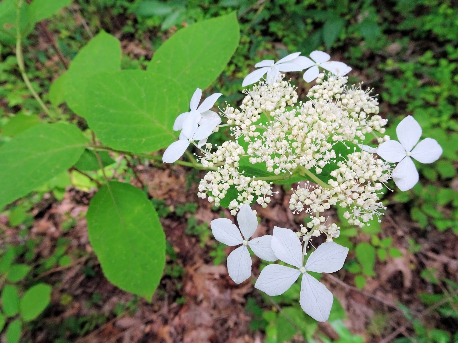
Some
of the wildflowers we saw on our visit included spotted wintergreen, wild
hydrangea (everywhere), yellow star grass, multiple different members of the
mint family, blue-eyed grass, false and smooth Solomon’s seal, fire pink – and that
was only the simple stuff that I could identify!


We
were successful in finding some solitude. A beautiful June day that probably
brought crowds to Jones Gap and Table Rock brought only a handful of people to
Laurel Fork during our visit, all but two passing through on their Foothills
Trail hike. This was a nice change of pace from our usual day trips, as we
stick to short hikes without more than a couple travel hours in the car when hiking
as a family – the recipe for a popular, crowded trail. On the other hand, along
with the solitude we also found quite a bit of poison ivy, ticks, chiggers and
gnats. It is important to do frequent tick checks on the kids when we are out
and about – even during the days after, as sometimes ticks will hitchhike home
and jump back on in the car the following day.

After
refueling and getting our fill of waterfall time we packed up. We made quick
work of the short descent back down to the primitive campground, and although
we felt the pull to cross the second bridge and continue on the Foothills Trail to the shores of Lake Jocassee & Laurel Fork Falls, it just wasn’t an option this time. The boys found the
gradual ascent back up to Laurel Fork Gap a bit tedious, but made it back to
Horse Pasture Road in record time. We (very) briefly considered continuing on
to Jumping Off Rock and the spectacular view of Lake Jocassee, but quickly
discarded the idea as it’s another 6 miles west, and then either 8 miles back
the way we came or 12 miles continuing through back around to Highway 11; it just felt wrong to spend so much time in the car on such a spellbinding day.
Instead we used the time saved for a stop at Sassafras Mountain, the views
stretching for miles and miles of blue ridge mountains...

*
Note: During 2016 several large trees fell across the base of the
waterfall. To see a picture of the falls unobscured and for a detailed
description of the hike, please visit this post by waterfallshiker.
No comments:
Post a Comment